The ecosystem-based approach is a strategy for the integrated management of land, water and living resources that promotes their conservation and sustainable use in an equitable way. EBA is a cornerstone of many EU directives but to date there is no clear guidance on how to implement it in practice, for instance, in the maritime spatial planning processes.
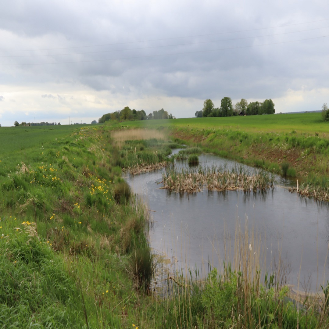
Ecosystems are linked to human well-being through the flow of ecosystem services, i.e., the benefits the marine environment and its resources deliver to society such as, the production of economically exploitable biomasses (e.g. fish.). A weak integration of ecology and economy results in a disconnection of economic analysis from the functioning of ecosystems. Current evaluation approaches hardly capture the cumulative impact of different human activities on ecosystem services thereby failing in the achievement of sustainable use of natural resources. To sustain climate and seawater quality these benefits have to be regulated. Therefore, novel assessment methodologies, which are more adequate to reflect the complexity of natural and human systems interactions are needed to further develop joint and integrated governance among MSP, MSFD and other integral regional strategies concerning the Baltic Sea.
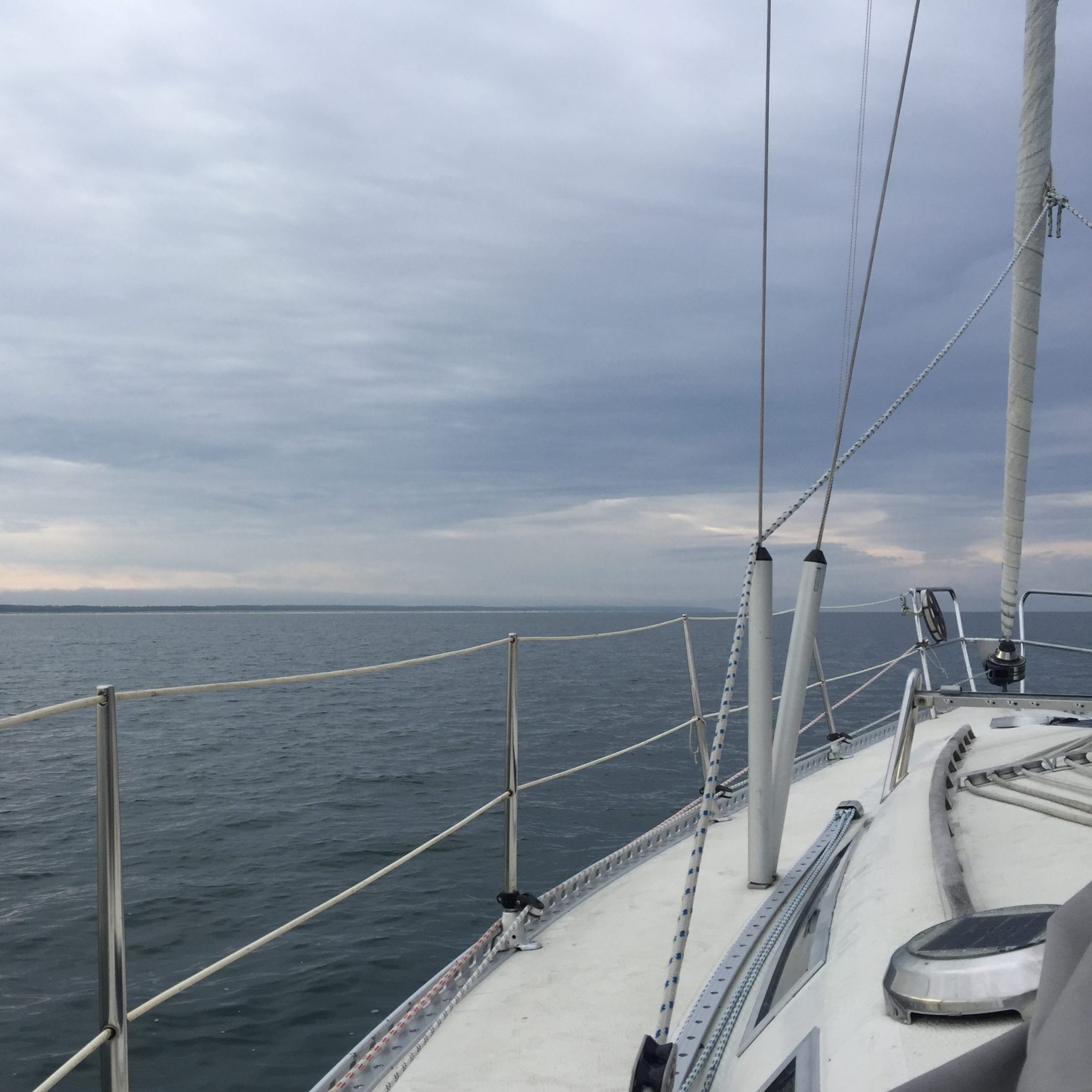
The MAREA project developed and tested novel concepts of ecosystem services mapping, environmental accounting and sustainability assessment as well as embed these elements into the synthetic decision-support geoportal capable of developing sustainable planning solutions in two transnational pilot areas: Finland-Estonia in the Gulf of Finland and Estonia-Latvia in the Gulf of Riga.
- First step: Developing ecosystem service mapping and modelling in marine realm
- Second step: Developing concepts of ecosystem accounting framework in the Baltic Sea environment. Natural Capital Accounting concept in the pilot areas by linking the maps of ecosystem services developed with already existing data sources on relevant economic sectors
- Third step: Creating sustainability compass towards sustainable development goals – indicator based assessment tool for evaluating the sustainability of different marine sectors
- Fourth step: Building a synthetic decision support geoportal for sustainable maritime planning in pilot areas: https://gis.sea.ee/pw4b/marea/index
MAREA project final seminar “Sustainable planning and governance for marine and coastal areas” was held on November 2-3, 2022, in Helsinki Congress Paasitorni, Helsinki. Seminar covered topics from mapping and modelling of ecosystem services in the Baltic Sea to ecosystem accounting and its development. It also gave insights to the Sustainability Compass and how the PlanWise4Blue geoportal can help decision-makers in practice. Finally, it offered some examples on the future research on maritime spatial planning. Please find the agenda and presentations: HERE.
Project outputs
Output O.T1.1. “High-resolution maps on the intensity and extent of ecosystem services supply in the transnational pilot area” (2022)
Output O.T2.1.1. “Conceptual model of Natural Capital Accounting” (2022)
Output O.T2.2.1. Regional tools for assessing feed-backs and trade-offs between marine ecosystem and anthropocentric systems (2022). Part 1: User guide for the social-economic models implemented in the geoportal
Output O.T2.2.2. Regional tools for assessing feed-backs and trade-offs between marine ecosystem and anthropocentric systems (2022). Part 2: Explore the relations between cultural services and environmental condition
Output O.T4.1. A functional decision-support geo-portal to support joint decision-making and seek sustainable cross-border planning solutions (2022): https://gis.sea.ee/pw4b/marea/index
Project deliverables
Deliverable D.T1.1.1: High-resolution maps
Deliverable D.T2.2.1: Methodology for the social-economic models implemented in the geoportal (2022)
Deliverable D.T2.2.2: Cultural Services Assessment Summary of cultural service survey and social media (2022)
Deliverable D.T3.1.1: Report on structure and user guide of the Sustainability Compass
Deliverable D.T3.2.1: Spatial cross-sectoral representation
Deliverable D.T3.3.1: Roadmap for implementing the sustainability compass
Project communication deliverables
Deliverable 6.2.1.: Policy brief “Ecosystem Services in Maritime Spatial Planning” (2022) points that extent of ecosystems and their condition define the ecosystem’s capacity to provide services and these valuable assets should be accounted for maritime spatial planning.
- Policy brief in English: Ecosystem Services in Maritime Spatial Planning
- Policy brief in Latvian: Ekosistēmu pakalpojumi jūras telpiskajā plānošanā
- Policy brief in Estonian: Ökosüsteemi hüved mereala ruumilises planeerimises
- Policy brief in Finnish: Ekosysteemi – palvelut merialue – suunnittelussa
Deliverable 6.2.1.: Policy brief “PlanWise4Blue geoportal for sustainable maritime spatial planning” (2022). Geoportal is a decision support tool aiming to maintain the sustainable management of common natural resources in the Baltic Sea region.
- Policy brief in English: PlanWise4Blue geoportal for sustainable maritime spatial planning
- Policy brief in Latvian: PlanWise4Blue ģeoportāls ilgtspējīgai jūras teritoriālajai plānošanai
- Policy brief in Estonian: Jätkusuutlik mereala planneerimine PlanWise4Blue-geoportaalis
- Policy brief in Finnish: PlanWise4Blue-geoportaali kestävään merialuesuunnitteluun
Deliverable 6.4.1. Info graphic on project results “Ecosystem service mapping, assessment and accounting” (2022)
Deliverable 6.4.2. Video animation on project results “Baltic sea ecosystem services for our benefit” (2022)
Deliverable 6.5.1. Activities in social media: https://twitter.com/MAREA_CB
Project details
- Project Name: MAREA
- Project management: Finnish Environment Institute
- Funded by: Central Baltic Programme 2014-2020
- Operational time:06/2020-12/2022
- Project number: CB934
- Total budget: EUR 1 515 601, 45;
ERDF: EUR 1 202 608, 77 - Project website: marea.balticseaportal.net
Project partners
Pellervo Economic Research PTT, University of Tartu, Baltic Environmental Forum-Latvia

![]()
Contact persons
- Anda Ruskule
- Kristīna Veidemane
- Agnese Reķe
- Dace Strigune